
Categories: Tutorials » Photography and Video
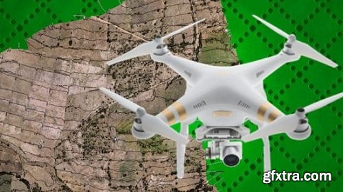
The Ultimate Guide for Land Surveying with Drones - Part 2
English | Video: 720p | 1.5 hrs | Subtitles
https://www.udemy.com/land-surveying-with-drones-fly-process-analyze-1/
Master the complete workflow using DroneDeploy, Litchi and Pix4D. Start your own UAV mapping business right away!
This course is the first part of the 3 course series “The Ultimate Guide for Land Surveying with Drones”. This part covers the basics of land surveying and how drones have revolutionized this process. We have detailed all the steps involved in flight planning and execution and how you can go about processing the images captured to get the needed outputs. This course is especially useful for those of you who are beginners and have no experience with drone surveying.


Related Posts
Information
Members of Guests cannot leave comments.
Top Rated News
- Sean Archer
- John Gress Photography
- Motion Science
- AwTeaches
- Learn Squared
- PhotoWhoa
- Houdini-Course
- Photigy
- August Dering Photography
- StudioGuti
- Creatoom
- Creature Art Teacher
- Creator Foundry
- Patreon Collections
- Udemy - Turkce
- BigFilms
- Jerry Ghionis
- ACIDBITE
- BigMediumSmall
- Boom Library
- Globe Plants
- Unleashed Education
- The School of Photography
- Visual Education
- LeartesStudios - Cosmos
- Fxphd
- All Veer Fancy Collection!
- All OJO Images
- All ZZVe Vectors
 Categories


