
Learning QGIS
English | 2h 57m | Video 720p | Subtitles
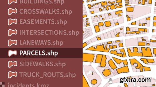
Enrich your GIS data and make more effective maps with QGIS. Gordon Luckett shows how to get QGIS up and running on your computer and create both 2D and 3D maps with vector and raster data. Plus, learn how to stylize maps, get more insights from data with overlays and heat maps, and publish results with powerful Python-driven plugins for QGIS.
Topics include: Explore how to add WFS layers from a server. Identify what format WMS typically delivers images in. Explore the navigation within a 3D Map window. State which layer properties tab allows you to edit the line layers of a shapefile. List the labels tab that should be selected to edit the visibility of vector data labels at certain scales. Identify how to use Python and the OpenLayers plugin within QGIS. Homepage: https://www.lynda.com/QGIS-tutorials/Learning-QGIS-REVISION/2813222-2.html 

Top Rated News
- Sean Archer
- AwTeaches
- Learn Squared
- PhotoWhoa
- Houdini-Course
- Photigy
- August Dering Photography
- StudioGuti
- Creatoom
- Creature Art Teacher
- Creator Foundry
- Patreon Collections
- Udemy - Turkce
- BigFilms
- Jerry Ghionis
- ACIDBITE
- BigMediumSmall
- Boom Library
- Globe Plants
- Unleashed Education
- The School of Photography
- Visual Education
- LeartesStudios - Cosmos
- All Veer Fancy Collection!
- All OJO Images
- All ZZVe Vectors
